
Research Hub: Systemic Risk & Vulnerability
A section dedicated to systemic risk and vulnerability, organised around the systemic vulnerability model, vulnerability dynamics, the Systemic Risk Orthogonal Framework, behaviour and research resources.
Research
Research projects and scientific initiatives developed or supported by CRMD.
A section dedicated to systemic risk and vulnerability, organised around the systemic vulnerability model, vulnerability dynamics, the Systemic Risk Orthogonal Framework, behaviour and research resources.

EU-PARATUS is included as a European project relevant to CRMD research on risk, vulnerability, preparedness and resilience in multi-hazard contexts.
The official project website provides information about the consortium, objectives, work packages and public results.
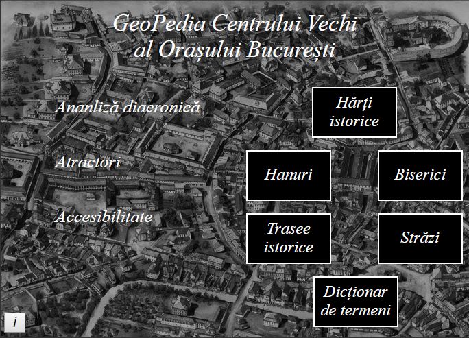
Cover photograph: Radu Oltean. Author: Nechita Vladimir-Nicolae. Academic supervisor: Prof. univ. dr. Armaș Iuliana.
Project produced with the support of the Center for Risk Studies and Spatial Modelling (www.geodinamic.ro). Web adaptation: Matei Valentin.
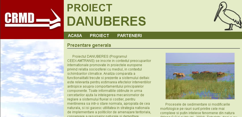
The DANUBERES project (CEEX-AMTRANS programme) addresses international research priorities promoted by European projects concerning the relationship between societies and the natural environment in the context of climate change. Comparative analysis of the delta system’s past and present functioning is relevant to estimating the effects of human-induced change on its principal natural components.
The research findings contribute to understanding the regulatory mechanisms of the river and coastal system, supporting its maintenance in a condition close to the natural state. They also inform national strategies for spatial planning, natural-resource conservation and sustainable development.
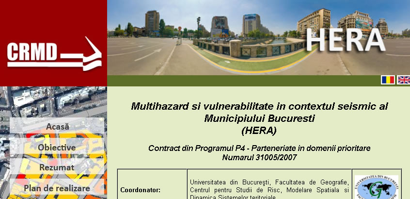
The project aims to develop a comprehensive database of urban-environment parameters and a range of statistically and ecologically validated procedures for analysing and identifying hazard and vulnerability conditions under different seismic-risk scenarios. The results are intended for local authorities through an accessible web interface suitable for emergency management and spatial-planning practice.
To support seismic-risk reduction in Bucharest, the project structures and diversifies public information and warning messages through context-sensitive formats. This work draws on psychosocial indicators and patterns of adaptation to seismic risk and on the development and testing of predictive and behavioural models for crises, post-disaster resilience and preparedness.
Assessment, in a spatial-temporal context, of environmental vulnerability patterns in Bucharest resulting from natural and human factors.
The project’s general objective was addressed through applied multicriteria models for analysing social, economic and built-environment vulnerability, based on information derived from remote-sensing and geographic-information-system analysis and modelling.
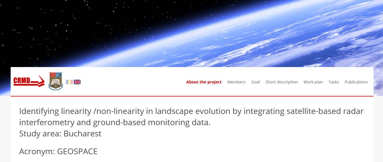
Identification of linear and nonlinear landscape evolution through the integration of satellite radar interferometry and ground-monitoring data. Study area: Bucharest.
Acronym: GEOSPACE. Research, Development and Innovation Programme for Space Technology and Advanced Research — STAR C2/2013. Project ID: 279. Period: 29.11.2013 – 15.12.2015.